CeNTI -
Automotive & Aeronautics
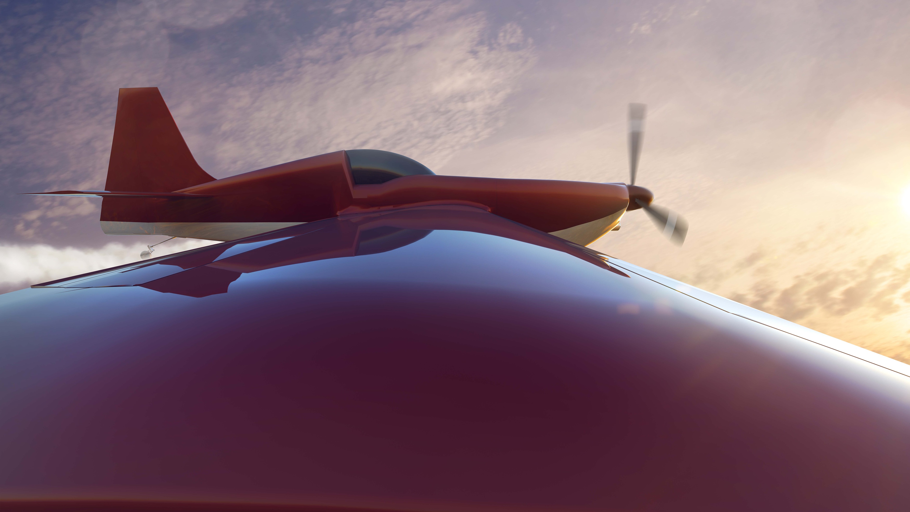
UAV-GG
Monitoring greenhouse gases with long-range unmanned aerial vehicles and novel spectroscopic sensors
The UAV-GG project aims to transform greenhouse gases (GHGs) monitoring through the development and optimisation of long-range Unmanned Aerial Vehicles (UAVs) equipped with innovative spectroscopic sensors. By combining in-field and UAV-collected data by Romaeris (Canada) with satellite data acquired by Spacebel (Belgium), the international consortium seeks to complement and enhance current geospatial datasets obtained from remote sensing, overcoming key limitations of satellite-based measurements, particularly the difficulty in accurately resolving gas concentrations and intensities along the vertical (Z) axis (altitude).
The integration of aerial and satellite observations will enable a more detailed, accurate, and three-dimensional understanding of large-scale GHG distribution. This approach will allow for the identification of emissions sources, support more informed decision-making, and significantly advance global understanding of GHG dynamics.
Within the national consortium, CeNTI and CASTROS are focused on optimising the entire UAV ecosystem, particularly regarding flight efficiency and energy autonomy. This includes the development of a modular, autonomous charging platform that explores second-life battery solutions, the integration of photovoltaic panels on UAV wings to extend flight duration, and the implementation of advanced electronic systems for efficient management of all subsystems.
Website: UAV-GG
Main Goals/Activities
|
Objectives of the national consortium:
|
|

Links
Operation FileWith support of:
